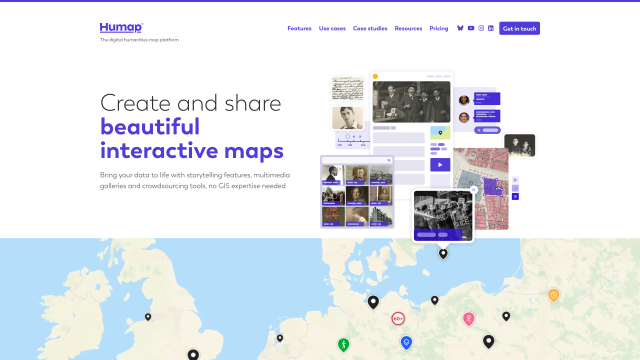
The Digital Humanities Map Platform
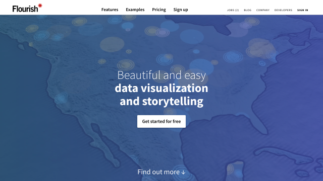
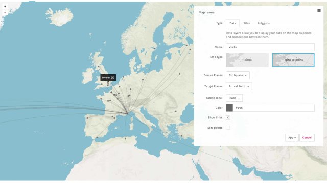
Interactive data visualization and storytelling
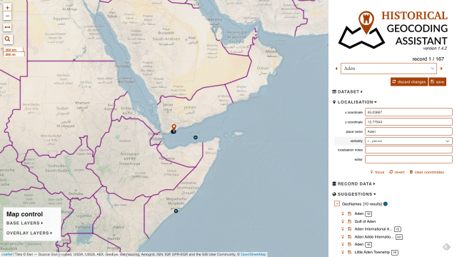
Geocodes historical places in Google Sheets
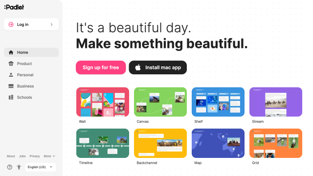
Rich-content publishing tool
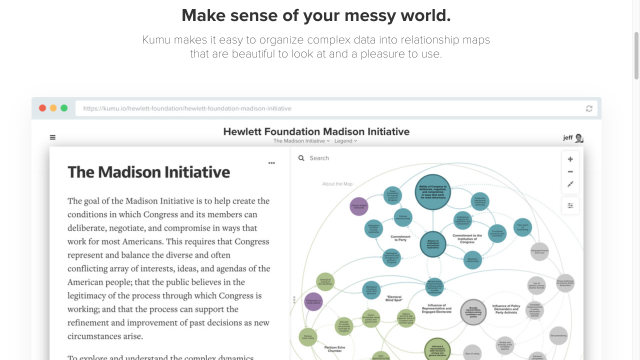
Network mapping and visualisation
Visualize complex historical data as maps, graphs or galleries
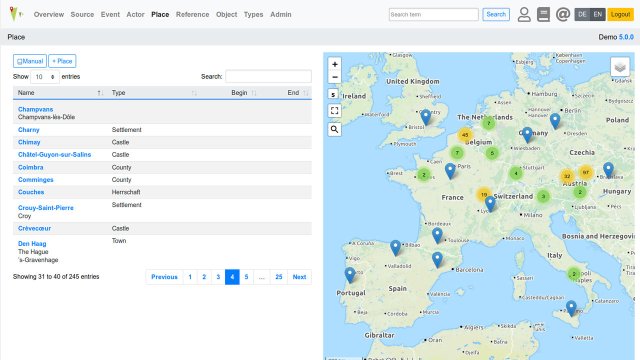
Web database & API integrating spatial, historical and prosopographic data
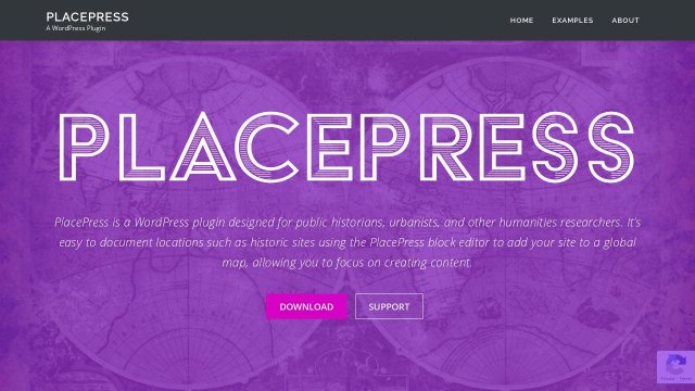
Wordpress plugin for mapping historic sites.
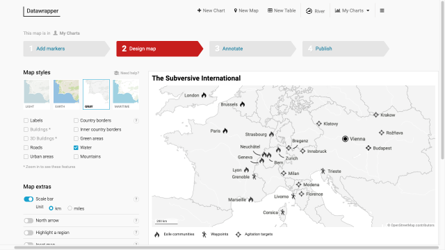
Create static charts, maps and tables for print
Send us your favourite tools and collections to info@tempopedia.org and we will add them to the directory.
Made with by Sebastian Majstorovic. This work is licensed under a Creative Commons Attribution 4.0 International License .
 .
.