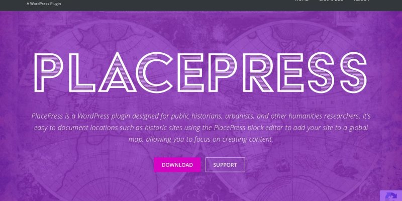
Wordpress plugin for mapping historic sites.
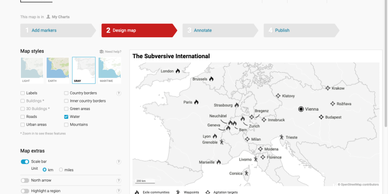
Create static charts, maps and tables for print
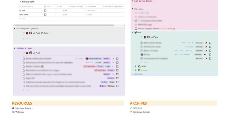
Collaborative workspace with personal wiki, linked databases and global search
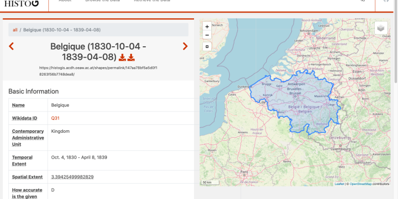
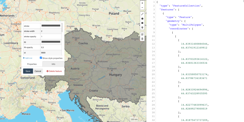
Historical Central European borders as GeoJSON
GeoJson.io is a open-source web visual map editor for GeoJSON files
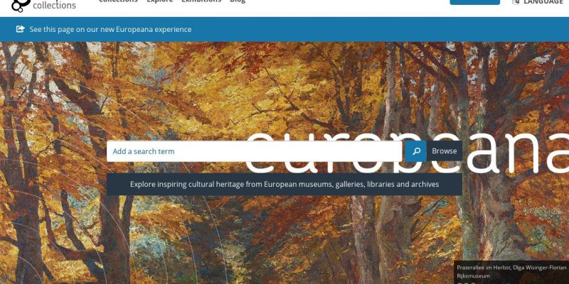
Aggregator for European digital collections
App for recording, editing and distributing podcasts
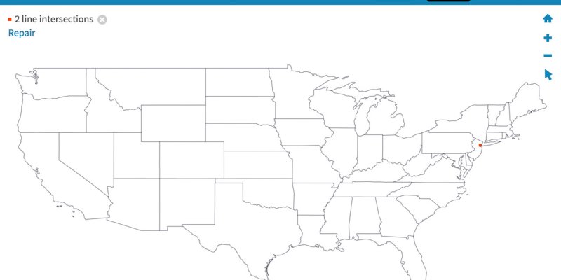
Tool to simplify, join and convert GeoJSON or other GIS files
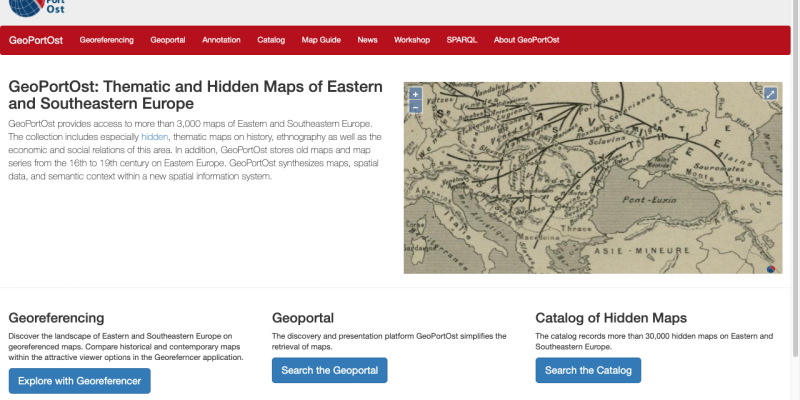
Thematic and hidden maps of Eastern and Southeastern Europe
Send us your favourite tools and collections to info@tempopedia.org and we will add them to the directory.
Grav was with by Trilby Media.